Modern Infrastructure for Geospatial Data
Metrics-driven distributed application development spanning the client & cloud-native platforms for geospatial data access and analysis
Modern Infrastructure for Geospatial Data
Metrics-driven distributed application development spanning the client & cloud-native platforms for geospatial data access and analysis
Hekuva builds developer-friendly tools and infrastructure for geospatial data. We combine deep expertise in federal Earth science programs with modern cloud architectures to make data accessible and actionable.
Founded by Aaron Caldwell, a Full-Stack Software Engineer with 15+ years in the spatial/geospatial space, 6+ years supporting NOAA's geospatial infrastructure, Hekuva is positioned at the intersection of federal domain knowledge and modern technical practices.
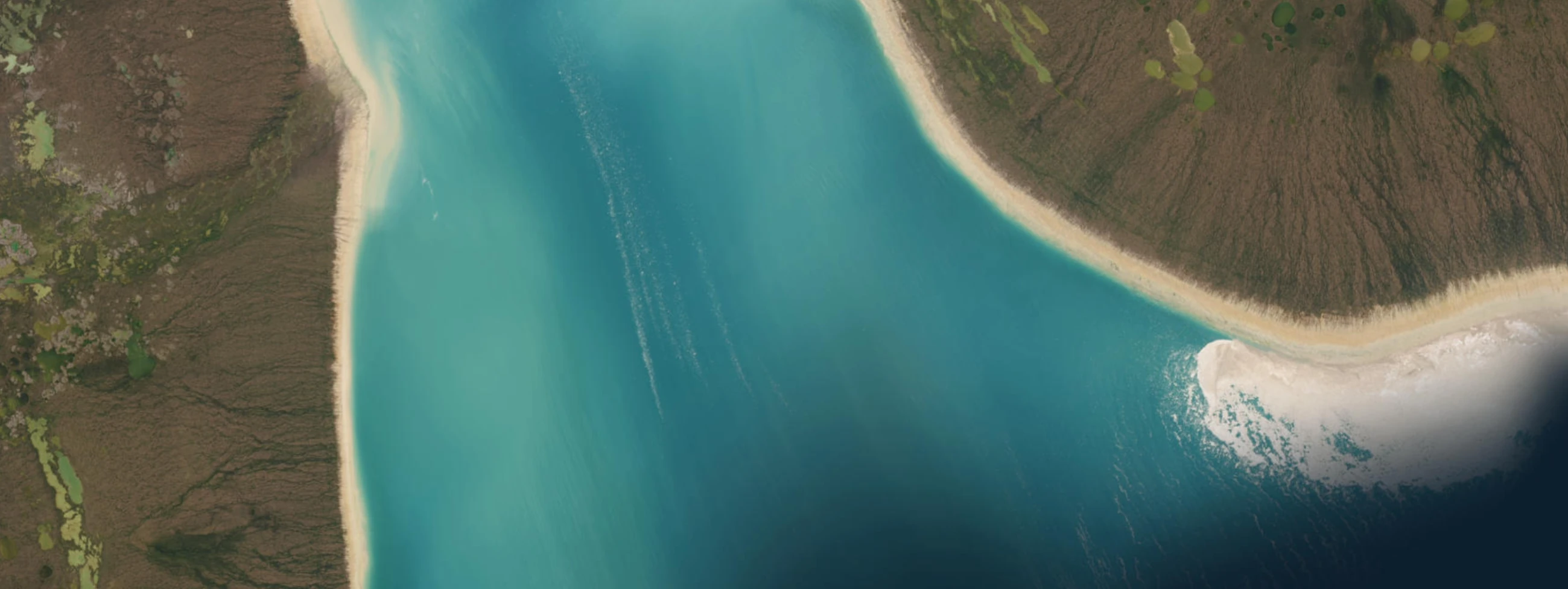
Cloud-native systems for managing and accessing large-scale Earth observation & geospatial datasets. STAC-compliant catalogs, efficient query engines, and modern API design.
Interactive tools that make satellite data accessible to non-experts. Real-time visualization, automated analysis, and actionable insights for climate and environmental applications.
Deep expertise in NOAA, NASA, and USGS data systems. Understanding of operational requirements, security considerations, and stakeholder needs in federal Earth science programs.
Developing proposals for federal submission focused on satellite/geospatial data access and decision support systems.
Building community-driven libraries for STAC catalog queries and Earth observation data processing.
Cloud-native geospatial infrastructure development and data systems modernization for NOAA's Common Cloud Framework Division.
Founder & Principal Engineer
Aaron brings 15+ years of experience building spatial/geospatial infrastructure spanning the private and federal sectors. As Software Engineer V on NOAA's NESDIS Common Cloud Framework initiative, he has developed cloud-native data systems, near-real-time modern web mapping platforms, and scalable processing pipelines for operational environmental data.
Questions about federal geospatial infrastructure, SBIR applications, or open source collaboration?
one@hekuva.com